

Share Coverage
 Send to Kindle
Category: Weather / Snowfall / Road / Accidents / Disasters and Accidents / Road Transport / Industry / Business, Economics and Finance / Transport
NSW motorists warned of black ice as cold snap crosses state
Friday, 24 Jun 2016 11:32:29 | Deborah Rice
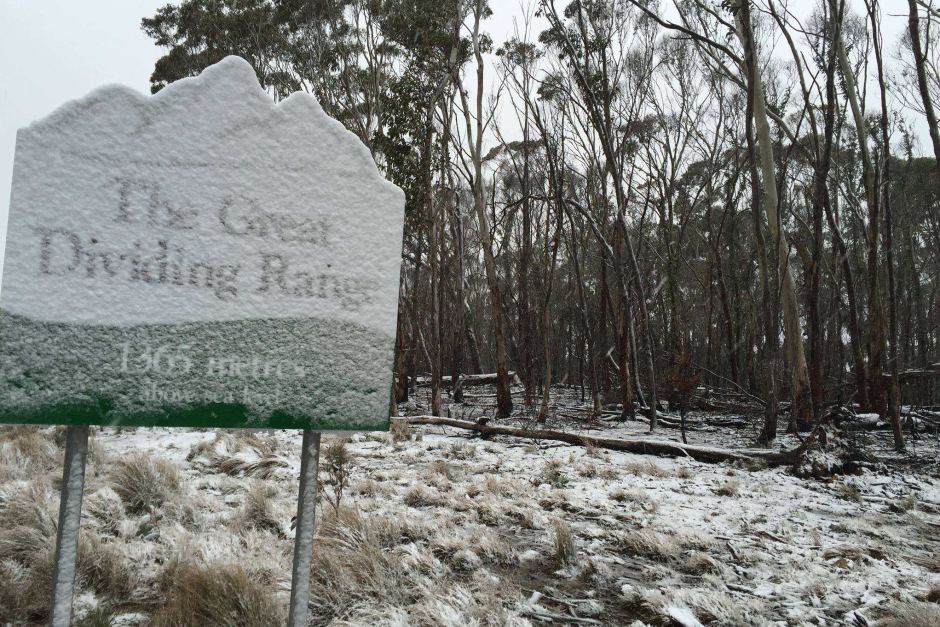
Light snow has fallen near Jenolan Caves as a cold snap moves through eastern Australia. (Facebook: Jenolan Caves)
Dangerous snow flurries and black ice are expected to cause major hazards for motorists as a cold snap moves through New South Wales.
Reports of snowfalls were widespread, with the Bureau of Meteorology recording five centimetres at Thredbo Village between 8:00-9:00am and photos being posted of falls in other southern and central regions of the state by lunchtime.
Snowfalls of up to 15cm in the Central West, especially Orange, Oberon, and Blayney, were forecast by the Bureau of Meteorology.
That led to a warning being issued to drivers.
"If you see ice and snow on the road, you need to dramatically reduce your speed and heighten your attention to safety issues," Police Chief Inspector Peter Atkins said.
He warned that transparent ice, often referred to as "black" ice because it is invisible on dark roads, was a particular danger.
"Black ice can't be seen and drivers need to slow down to the road conditions."
A warning for possible traffic disruptions, especially on the Great Western Highway, was issued by the State Emergency Service.
The access roads to Mount Canobolas, near Orange, were closed as a precaution.
Chief Inspector Atkins said it was important to keep the police phone lines available for emergencies.
"Obviously the combat agency for storm and tempest is the SES, however, police work closely with other agencies, but just bear in mind that ringing the local police for traffic conditions may clog up an emergency line," he said.
He urged motorists to direct any road enquiries to the Traffic Management Centre or local councils instead.
Preparations were also in place for falls over roads in the Alpine areas and parts of the Riverina, the SES's Becky Gollings said.
"Obviously significant snowfall could cause some serious hazards or even cut the road," she said.
"We're just asking motorists driving in those areas to keep up to date with the latest information."
Fast-moving cold front
Snow above 700 metres was also forecast for the southern and central ranges and light falls were expected in the Blue Mountains, west of Sydney.
The fast-moving cold front is due to affect northern parts of the state later today, according to Bureau of Meteorology forecaster Katarina Kovacevic.
"Cooler temperatures will make their way through to the Northern Ranges, so expecting snow later today for northern parts of the Tablelands," she said.
Meanwhile, the state's ski fields are hoping for the heavy snow that has blanketed Victorian resorts this week.
Thredbo and Perisher are likely to see good falls today, Ms Kovacevic said.
"It's possibly 15 to 35 centimetres, so it's quite a good amount ... if all of the expected rainfall is converted into snow," she said.
- About Us
- |
- Terms of Use
- |
-
 RSS
RSS - |
- Privacy Policy
- |
- Contact Us
- |
- Shanghai Call Center: 962288
- |
- Tip-off hotline: 52920043
- 沪ICP证:沪ICP备05050403号-1
- |
- 互联网新闻信息服务许可证:31120180004
- |
- 网络视听许可证:0909346
- |
- 广播电视节目制作许可证:沪字第354号
- |
- 增值电信业务经营许可证:沪B2-20120012
Copyright © 1999- Shanghai Daily. All rights reserved.Preferably viewed with Internet Explorer 8 or newer browsers.